
Customize the Geolocation / Map field
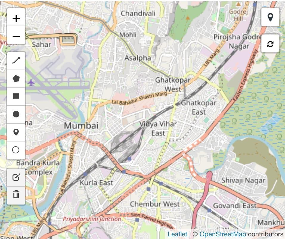
If you want to show a map in your DocType Form, you can add a field of type "Geolocation". By default, it looks like this:
There are many ways to customize this field. We can change global values like the default location and zoom level. And we can customize how individual objects on a particular map are rendered.
Change the map defaults
Note: these changes require a custom app and will apply to all maps in your system.
By default, it shows a street map centered on Mumbai. This is not configurable via the GUI yet. But, using a custom app, we can change the map type, start location, zoom level, etc.
Start by creating a file $MY_APP/$MY_APP/public/js/map_defaults.js. In your $MY_APP/$MY_APP/hooks.py, add the JS file into the app_include_js hook:
app_include_js = [
    "/assets/$MY_APP/js/map_defaults.js"
    # ...
]
Now, frappe will load this file for all desk views (i.e. for logged in system users).
In map_defaults.js, we add the following lines:
// Make sure we have a dictionary to add our custom settings
const map_settings = frappe.provide("frappe.utils.map_defaults");
// Center and zoomlevel can be copied from the URL of
// the map view at openstreetmap.org.
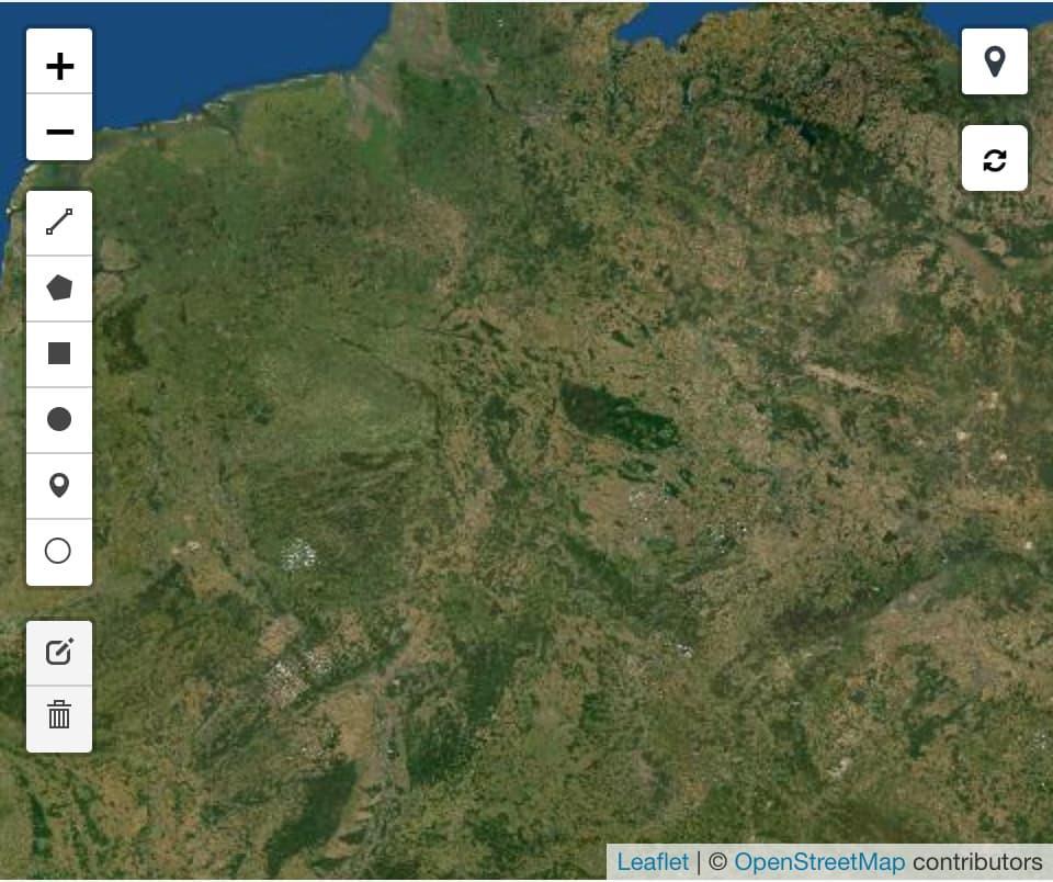
// New default location (middle of germany).
map_settings.center = [51.57, 9.866];
// new zoomlevel: see the whole country, not just a single city
map_settings.zoom = 6;
// Use a different map: satellite instead of streets
// Examples can be found at https://leaflet-extras.github.io/leaflet-providers/preview/
map_settings.tiles = "https://server.arcgisonline.com/ArcGIS/rest/services/World_Imagery/MapServer/tile/{z}/{y}/{x}";
map_settings.attribution = "Tiles © Esri — Source: Esri, i-cubed, USDA, USGS, AEX, GeoEye, Getmapping, Aerogrid, IGN, IGP, UPR-EGP, and the GIS User Community";
Restart your bench and reload your browser window. Now you should see the customized map:
Change how a particular map is rendered
In order to change the look and feel of a particular map, you can overwrite the controller methods of the Geolocation field. This can be done with a Client Script or with the hook in a custom app.
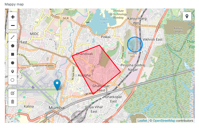
By default, everything drawn on the map is blue. Let's overwrite the method on_each_feature to make all polygons red:
frappe.ui.form.on("My Doctype", {
    setup(frm) {
        frm.fields_dict.MY_MAP_FIELD.on_each_feature = function(feature, layer) {
            if (feature.geometry.type == "Polygon") {
                layer.setStyle({color: "red"});
            }
        };
    }
});
The result looks like this:
Other methods that can be overwritten include point_to_layer and set_style. Read more about these methods in the Leaflet documentation.